When you ask, “how far is new jersey,” the answer truly depends on your starting point. New Jersey is a key state on the East Coast, nestled between major metropolitan areas. Consequently, its distance can range from a short drive to a cross-country flight. This guide will give you clear answers.
How Far Is New Jersey from Major US Cities?
Your travel time can vary dramatically based on your location. For example, neighboring cities are just a stone’s throw away, while cities on the West Coast are much farther.
From New York City (NYC)
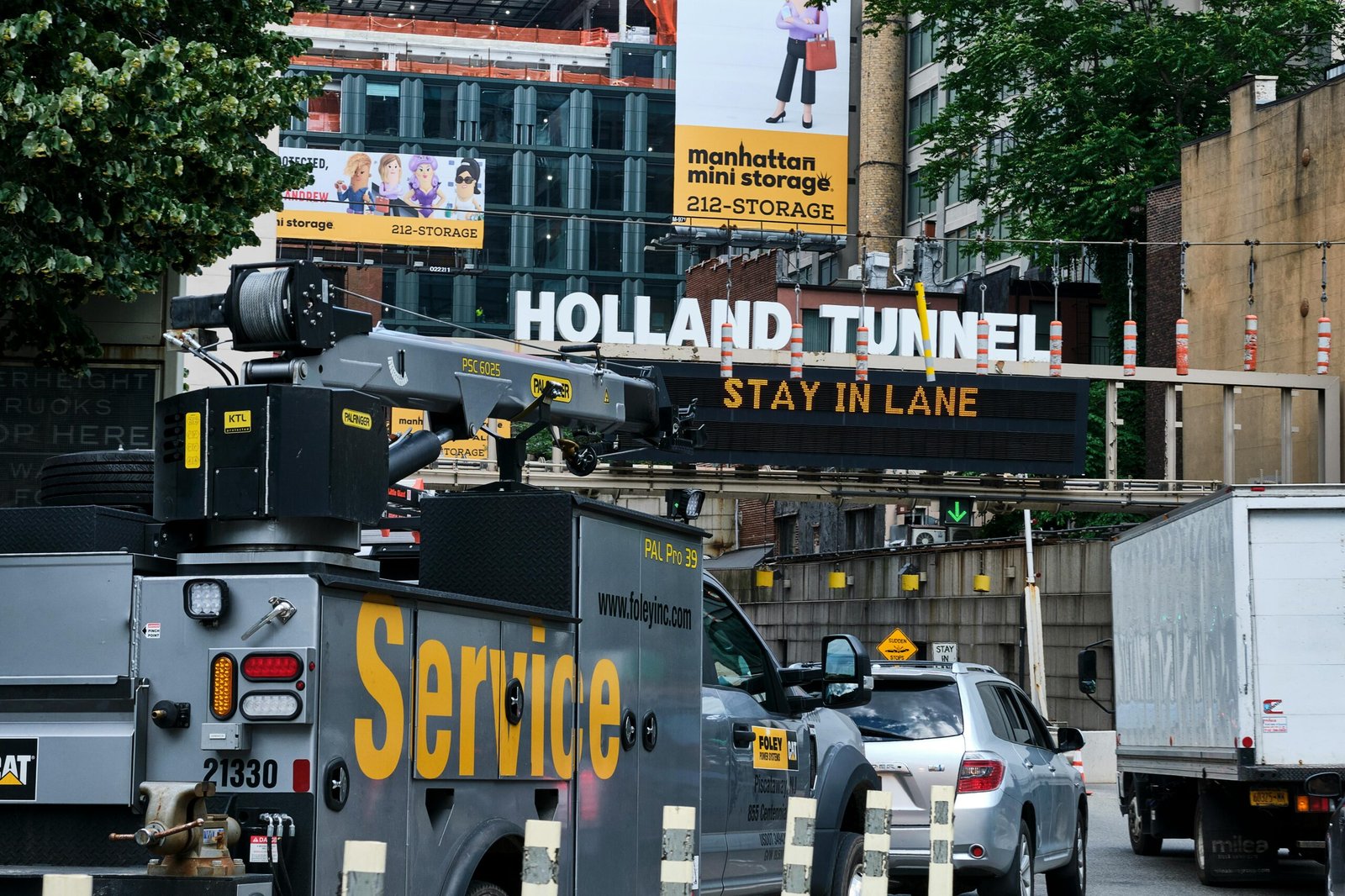
New Jersey and New York City share a border. In fact, many parts of Northern New Jersey are closer to Manhattan than some of NYC’s own boroughs. The distance from Midtown Manhattan to Jersey City is only about 4 miles (6.5 km). Therefore, you can often get there in under 20 minutes by train or car, depending on traffic.
From Philadelphia, PA
Philadelphia also shares a border with New Jersey, separated by the Delaware River. The distance from Center City, Philadelphia to Camden, New Jersey is less than 3 miles (5 km). As a result, the journey is incredibly short, often taking just 10-15 minutes by car or the PATCO train line.
From Other Major US Hubs
For travelers coming from farther away, the distance is obviously much greater. Here are some common examples of travel times to Newark, a major hub in New Jersey:
- From Boston, MA: Approximately 220 miles (355 km). Driving usually takes around 4-5 hours, while a direct flight is about 1 hour.
- From Washington, D.C.: Roughly 200 miles (320 km). You can expect a drive of 3.5 to 4.5 hours. In addition, the train is a popular and efficient option.
- From Chicago, IL: About 800 miles (1,287 km). This requires a 12-13 hour drive or a direct flight that takes around 2 hours.
- From Los Angeles, CA: Over 2,700 miles (4,345 km). Driving would be a multi-day road trip. However, a non-stop flight takes about 5 to 6 hours.
Key Factors That Influence Your Travel Time
The distance in miles doesn’t always tell the full story. Several factors can change how long it takes to reach or travel within New Jersey.
First, traffic is a major consideration, especially around the New York City and Philadelphia corridors. Rush hour can significantly increase your travel time. Furthermore, your exact destination matters. Reaching a city like Newark is different from traveling to the Jersey Shore or a southern town like Cape May.
Finally, your mode of transport plays a huge role. Trains, like Amtrak and NJ Transit, are often faster and more reliable than driving during peak hours for avoiding traffic congestion.
How Big Is New Jersey Itself?
Sometimes, the question “how far is new jersey” can also refer to the size of the state. New Jersey is relatively small but densely populated. It measures approximately 150 miles (241 km) from its northernmost point to its southernmost tip. Its width varies, but it’s about 70 miles (112 km) at its widest point.
To put this in perspective, driving from High Point State Park in the north to Cape May in the south would take you about 3 to 4 hours without heavy traffic, covering the entire length of the state.